
2014
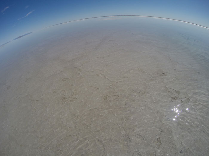
footprints in the Bonneville Salt Flats
"When Lake Bonneville was at its highest level approximately 17,000 years ago, the water exceeded depth of over a 1,000 feet deep; the Salt Flats comprised the lake bed. This depth is evidenced by horizontal terraces and escarpments on the sides of the nearby Silver Island Mountains. As Lake Bonneville receded, evaporation left large concentrations of dissolved minerals deposited in surrounding soils. These minerals include potash, which is commercially used as fertilizer and halite (table salt). The Bonneville Salt Flats are comprised of approximately 90% salt.
"Today, shallow groundwater flows from the surrounding watershed, picks up dissolved minerals along the way, and percolates up to the Salt Flats' surface. When temperatures rise in the late spring and summer months, the salty water rapidly evaporates in the heat and the minerals are left behind to form the salt crust. During the cooler months (November to May), this groundwater floods the Salt Flats several inches deep. When temperatures rise in late spring and early summer, the salty water rapidly evaporates in the heat, and minerals are left behind to form new salt crust. Wind, periodic rainstorms, and regional climate also play an important part in changing salt crust conditions throughout each year. The stratified layers that form the Salt Flats are almost five feet thick near the center and only an inch or two at the outer edges. The Salt Flats are just over 46 square miles in size (30,000 acres) which equates to about 147 million tons, or 99 million cubic yards, of salt."—Bureau of Land Management
 © 2014 Works & Days Quarterly and Vivian Beer